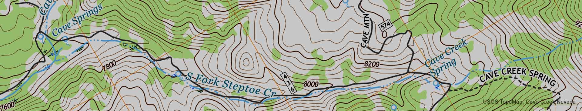
To get a list of topographical maps that cover a particular area, drag the orange map icon to your point of interest then click the "Find Maps" button. You will be able to download your map on the next page. The 2025 NCKMS Symposium's map database currently contains 258,252 maps. The catalog was last updated on Friday, May 17, 2024.
![]() Bristlecone Convention Center
Bristlecone Convention Center
![]() Great Basin NP
Great Basin NP

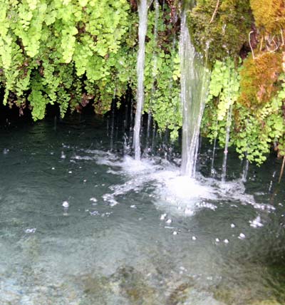
There are 48 miles of perennial streams, and over 400 springs in the South Snake Range, home to Great Basin National Park. Over 75% of wildlife species are dependent upon these riparian areas for food, water, and cover at some stage of their life cycles.
Advance registration for the 2025 symposium is expected to open in mid-2024. We will send an email to past attendees when that system comes online.
Feel free to join our mailing list if you would like to receive occasional updates on our plans.